Summit hikes in Tasmania
Every summit hike we've mapped in Tasmania — each with a full elevation profile, offline map and an honest time estimate. Trails that climb to a peak, trig point or lookout with a genuine high point — expect a final pinch of elevation gain for the view at the top.
11 trails match.

brewbooks from near Seattle, USA · CC BY-SA 2.0
Barn Bluff
Cradle Mountain-Lake St Clair National Park

JJ Harrison (https://www.jjharrison.com.au/) · CC BY-SA 3.0
Bishop and Clerk
Maria Island National Park
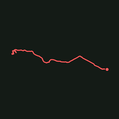
Frenchmans Cap
Franklin-Gordon Wild Rivers National Park

JJ Harrison (https://www.jjharrison.com.au/) · CC BY-SA 3.0
Hartz Peak
Hartz Mountains National Park

Ray Hayward · CC BY-SA 3.0
Hazards Beach Circuit
Freycinet National Park

brewbooks from near Seattle, USA · CC BY-SA 2.0
Mount Ossa
Cradle Mountain-Lake St Clair National Park

Raki_Man · CC BY 3.0
Mount Pelion East
Cradle Mountain-Lake St Clair National Park

Stefan Karpiniec · CC BY 2.0
Rocky Cape Circuit
Rocky Cape National Park

aussiejeff from Perth, WA, Australia · CC BY-SA 2.0
Wineglass Bay
Freycinet National Park

Terry Parkes · CC BY-SA 3.0
Wineglass Bay Lookout Walk
Freycinet National Park

OlorinFiresky · CC BY-SA 4.0
Zig Zag Track
Wellington Park