Best hiking trails in Queensland
Queensland walking covers more ground than any other state: Gondwanan rainforest and waterfall circuits in the Gold Coast hinterland, basalt lookouts along the Scenic Rim, dry eucalypt ranges inland, and tropical gorge country further north. Heat and humidity do more to set the difficulty here than distance does — an early start and more water than you think you need are the two things that matter most.
- Trails
- 89
- Total
- 316 km
- Easy walks
- 45
- Areas
- 8
Top trails
Ranked on track quality and day-walk suitability from the data we hold — not on reviews, which we don't collect.
- #1Toolona Creek CircuitHard8.43 km531 m upEst. 3.1 hrLamington National Park (O'Reilly's)
- #2Cedar Creek CircuitHard5.64 km504 m upEst. 2.4 hrTamborine National Park
- #3Coomera CircuitHard8.63 km463 m upEst. 3 hrLamington National Park (Binna Burra)
- #4Gwongoorool TrackModerate4.54 km824 m upEst. 2.2 hrLamington National Park
- #5Purling Brook Falls CircuitModerate4.64 km343 m upEst. 1.8 hrSpringbrook National Park
- #6West Canungra Creek CircuitHard10.37 km509 m upEst. 3.5 hrLamington National Park
- #7Box Forest CircuitHard5.16 km357 m upEst. 2 hrLamington National Park
- #8Box Forest TrackHard5.16 km357 m upEst. 2 hrMain Range National Park
- #9Warrie CircuitExpert8.65 km626 m upEst. 3.3 hrSpringbrook National Park
- #10Mt Coot-tha Summit TrackEasy1.32 km15 m upEst. 0.4 hrMt Coot-tha Reserve / D'Aguilar National Park
- #11Sandy Creek CircuitModerate5.35 km146 m upEst. 1.6 hrTamborine National Park
- #12Albert River CircuitHard9.69 km367 m upEst. 3.1 hrLamington National Park
- #13Dave's Creek CircuitModerate5.23 km274 m upEst. 1.8 hrLamington National Park (Binna Burra)
- #14Mount Mitchell TrackHard9.68 km799 m upEst. 4.6 hrMain Range National Park
- #15Aboriginal Art Trail (Hoop Pine Trail)Easy1.02 km34 m upEst. 0.3 hrMt Coot-tha Reserve / D'Aguilar National Park
- #16Mount Hobwee CircuitModerate4.07 km197 m upEst. 1.4 hrLamington National Park
- #17Wanggoolba Creek BoardwalkModerate4.08 km75 m upEst. 1.1 hrK'gari (Fraser Island), Great Sandy National Park
- #18Waterfall Creek CircuitHard7.61 km178 m upEst. 2.2 hrSpringbrook National Park
- #19Castle Rock TrackModerate5.02 km206 m upEst. 2 hrGirraween National Park
- #20Illinbah CircuitHard7.8 km45 m upEst. 2 hrLamington National Park
The remaining 69 are listed in full below.
All 89 trails in Queensland

Do japan · CC BY-SA 4.0
Toolona Creek Circuit
Lamington National Park (O'Reilly's)
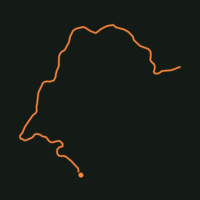
Cedar Creek Circuit
Tamborine National Park

Tatters ✾ from Brisbane, Australia · CC BY-SA 2.0
Coomera Circuit
Lamington National Park (Binna Burra)

gailhampshire from Cradley, Malvern, U.K · CC BY 2.0
Gwongoorool Track
Lamington National Park

Tatters ✾ · CC BY-SA 2.0
Purling Brook Falls Circuit
Springbrook National Park
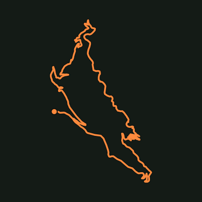
West Canungra Creek Circuit
Lamington National Park

Tatters ✾ · CC BY 2.0
Box Forest Circuit
Lamington National Park
Tatters ✾ · CC BY 2.0
Box Forest Track
Main Range National Park

gailhampshire from Cradley, Malvern, U.K · CC BY 2.0
Warrie Circuit
Springbrook National Park

Mt Coot-tha Summit Track
Mt Coot-tha Reserve / D'Aguilar National Park
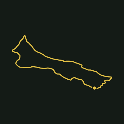
Sandy Creek Circuit
Tamborine National Park

Alan Wigginton · CC BY-SA 4.0
Albert River Circuit
Lamington National Park

Tatters ✾ from Brisbane, Australia · CC BY-SA 2.0
Dave's Creek Circuit
Lamington National Park (Binna Burra)

Tatters ✾ from Brisbane, Australia · CC BY-SA 2.0
Mount Mitchell Track
Main Range National Park

Aboriginal Art Trail (Hoop Pine Trail)
Mt Coot-tha Reserve / D'Aguilar National Park
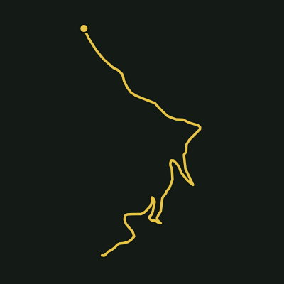
Mount Hobwee Circuit
Lamington National Park

Poidabro · CC BY-SA 4.0
Wanggoolba Creek Boardwalk
K'gari (Fraser Island), Great Sandy National Park

Anonymous · CC BY 4.0
Waterfall Creek Circuit
Springbrook National Park

Tatters ✾ from Brisbane, Australia · CC BY-SA 2.0
Castle Rock Track
Girraween National Park

gailhampshire from Cradley, Malvern, U.K · CC BY 2.0
Illinbah Circuit
Lamington National Park

gailhampshire from Cradley, Malvern, U.K · CC BY 2.0
Twin Falls Circuit
Springbrook National Park
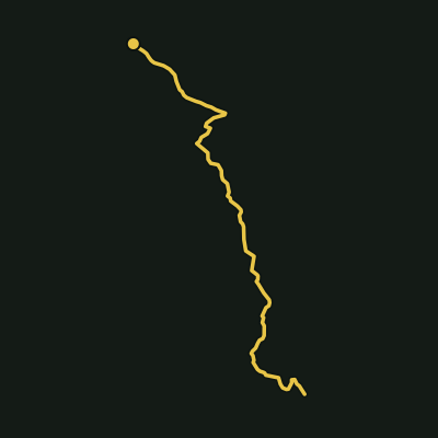
Upper Portals Track
Mount Barney National Park
Tatters ✾ from Brisbane, Australia · CC BY-SA 2.0
Ballunjui Falls (Lower Ballunjui Falls track)
Lamington National Park
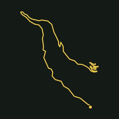
Mount Cordeaux Track
Main Range National Park

Kaninchen123456789 · CC BY-SA 4.0
South Ridge (Peasants Ridge) Route
Mount Barney National Park

Allan Henderson · CC BY 2.0
Cedar Block Circuit
Ravensbourne National Park

Kgbo · CC BY-SA 4.0
Conondale Range Great Walk
Conondale National Park

Steven Lawler · CC BY-SA 3.0
Cougal Cascades track
Springbrook National Park

Greenes Falls Track
D'Aguilar National Park (Maiala, Mount Glorious)
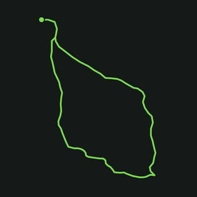
Mee-bor-rum Circuit
Moogerah Peaks National Park

Tatters ✾ from Brisbane, Australia · CC BY 2.0
Morans Falls Track
Lamington National Park (Binna Burra)
Tatters ✾ from Brisbane, Australia · CC BY 2.0
Python Rock Track
Lamington National Park

Daniela · CC BY 2.0
Witches Falls Circuit
Tamborine National Park

Kgbo · CC BY-SA 4.0
Wompoo Circuit
Mapleton Falls National Park

gailhampshire from Cradley, Malvern, U.K · CC BY 2.0
Border Track
Lamington National Park

Karthik Ram Raja Perumal · CC BY-SA 4.0
Curtis Falls track
Tamborine National Park

Cypress Grove Circuit
D'Aguilar National Park (Maiala, Mount Glorious)

Unknown authorUnknown author · Public domain
Egernia Circuit
D'Aguilar National Park (Jollys Lookout)
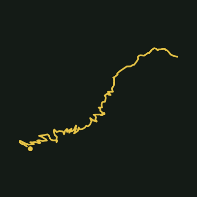
Gap Creek Falls Track
Main Range National Park
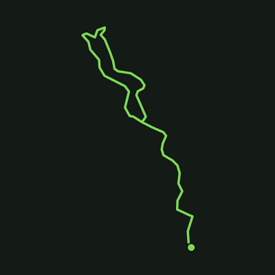
Lower Creek Circuit
Tamborine National Park

Kgbo · CC BY-SA 4.0
MacDonald Rainforest Circuit
Tamborine National Park
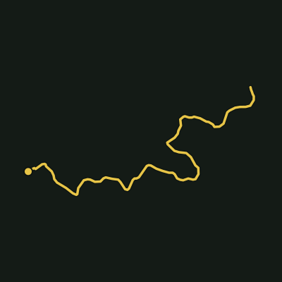
Morelia Track
D'Aguilar National Park (Manorina)

Mount Beerwah Summit Track
Glass House Mountains National Park

Kgbo · CC BY-SA 4.0
Palm Grove Circuit
Tamborine National Park

Tatters ✾ from Brisbane, Australia · CC BY-SA 2.0
Picnic Creek Circuit
Kondalilla National Park
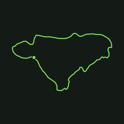
Rainforest Circuit
Lamington National Park

Ché Lydia Xyang · CC BY-SA 3.0
Tibrogargan Circuit
Glass House Mountains National Park
Tatters ✾ · CC BY-SA 2.0
Warringa Pool track
Springbrook National Park
Kaninchen123456789 · CC BY-SA 4.0
Yellow Pinch Track
Mount Barney National Park
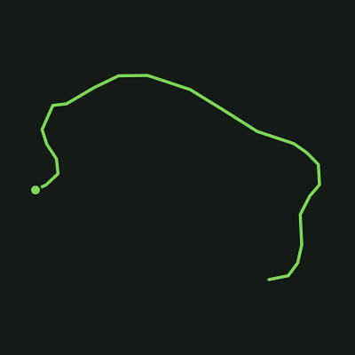
Atrax Circuit
D'Aguilar National Park (Manorina)
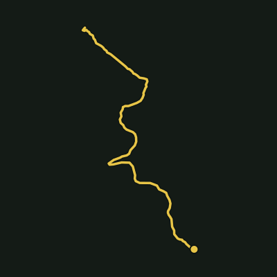
Bare Rock Track
Main Range National Park
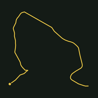
Boolimba Bluff Track
Carnarvon Gorge National Park
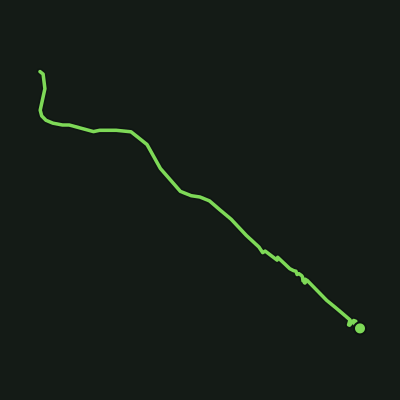
Centenary Track
Lamington National Park (Green Mountains section)

gailhampshire from Cradley, Malvern, U.K · CC BY 2.0
Gold Coast Hinterland Great Walk
Lamington & Springbrook National Parks

Tatters ✾ from Brisbane, Australia · CC BY-SA 2.0
Kondalilla Falls Circuit
Kondalilla National Park
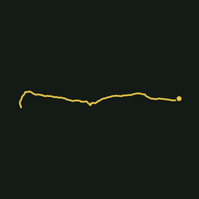
Lower Portals Track
Mount Barney National Park

Vinko Rajic · CC BY 3.0
Mount Ngungun Summit Track
Glass House Mountains National Park

Shane Smith · CC BY-SA 3.0
Oceanview Circuit
Burleigh Head National Park
Allan Henderson · CC BY 2.0
Palm Creek Circuit
Ravensbourne National Park
Unknown authorUnknown author · Public domain
Thylogale Walking Track
D'Aguilar National Park (Jollys Lookout to Manorina)
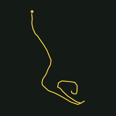
Tullawallal Circuit
Lamington National Park
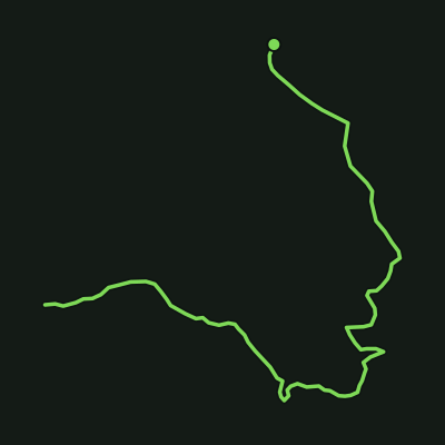
Wishing Tree Track
Lamington National Park
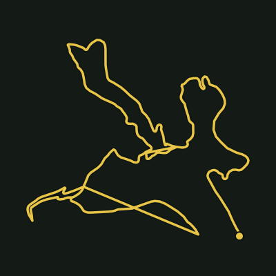
Casuarina Grove Track
Nerang National Park
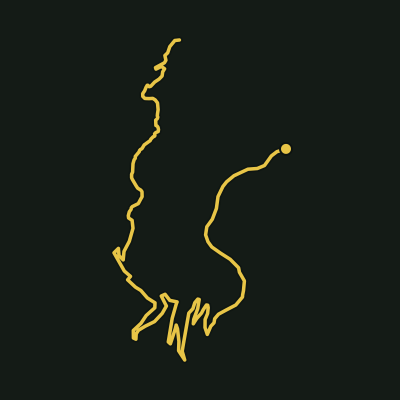
Caves Circuit
Lamington National Park

Tatters ✾ from Brisbane, Australia · CC BY-SA 2.0
Cronan Creek Track
Mount Barney National Park

gailhampshire from Cradley, Malvern, U.K · CC BY 2.0
Lower Bellbird Track
Lamington National Park
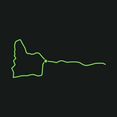
Jabiru Track
Coombabah Lakelands Conservation Area

Orderinchaos · CC BY-SA 4.0
Federation Track
Mount Gravatt Outlook Reserve

Kgbo · CC BY-SA 4.0
Federation Walk
Federation Walk Coastal Reserve

Jack Bain · CC BY 4.0
Freeman's Lookout Track
Nerang Conservation Park / Nerang Forest Reserve

Mangrove Boardwalk
Coombabah Lakelands Conservation Area

Kainazmanekshaw · CC BY-SA 4.0
Melaleuca Boardwalk Circuit
Coombabah Lakelands Conservation Area

Kainazmanekshaw · CC BY-SA 4.0
Myola Boardwalk
Coombabah Lakelands Conservation Area
Kainazmanekshaw · CC BY-SA 4.0
Goshawk Track
Coombabah Lakelands Conservation Area
Kainazmanekshaw · CC BY-SA 4.0
Koala Track
Coombabah Lakelands Conservation Area

Misaochan2 · CC BY 4.0
Pardalote Walk
Picnic Point / Table Top Bushland Reserve

Jack Bain · CC BY 4.0
Tallebudgera Creek Walking Track
David Fleay Wildlife Park / Tallebudgera Creek Conservation Park

Sue Allen · CC BY-SA 3.0
Firetail Walk
Picnic Point / Tabletop Range

Mahogany Trail
Mount Coot-tha Forest
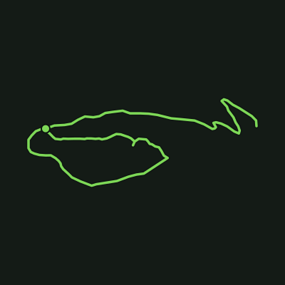
North Summit / Ironbark Walking Circuit
Mount Peel Bushland Park

ASphericalBird · CC BY 4.0
Redwood Forest Walk
Redwood Park

HoraceG · CC BY-SA 4.0
South Summit / Basalt Walk
Mount Peel Bushland Park
ASphericalBird · CC BY 4.0
Acacia Trail
Jubilee Park
Sue Allen · CC BY-SA 3.0
Eagles Nest Trail
Redwood Park
Misaochan2 · CC BY 4.0
Fantail Walk
Picnic Point Parklands

Robert Whyte · CC BY 3.0
Goanna Trail
Enoggera Reservoir

gailhampshire from Cradley, Malvern, U.K · CC BY 2.0
Gold Creek Trail
Gold Creek Reservoir / Enoggera

Kerry Raymond · CC BY 4.0
Melaleuca Circuit
Karawatha Forest Park
HoraceG · CC BY-SA 4.0
Red Ash Walking Circuit
Mount Peel Bushland Park
Top parks in Queensland
Frequently asked questions
How many hiking trails are there in Queensland?
Aus Trails currently maps 89 walking tracks in Queensland, covering about 316 km in total. Every one has a real elevation profile and a 3D terrain map, and all of it is free to use without an account.
What is the longest hiking trail in Queensland?
The longest Queensland track in our catalogue is Conondale Range Great Walk in Conondale National Park, at 38.63 km with 1145 m of cumulative ascent.
Which Queensland trail has the most elevation gain?
Gold Coast Hinterland Great Walk in Lamington & Springbrook National Parks climbs the most of any Queensland track we map — 1331 m of cumulative ascent over 28.43 km.
Are there easy walks in Queensland?
Yes — 45 of the 89 Queensland tracks we map are graded Easy, meaning short distances on well-formed track with little sustained climbing. You can filter the full list by grade on the trails page.
Which national parks in Queensland have hiking trails?
The best-covered areas in Queensland are Lamington National Park (14 tracks), Tamborine National Park (7 tracks), Coombabah Lakelands Conservation Area (6 tracks), Springbrook National Park (6 tracks), Main Range National Park (5 tracks).
Do I need to pay to use Aus Trails in Queensland?
No. Offline maps, live GPS, elevation profiles, 3D terrain and every safety feature are free, permanently, with no account required. Pro only adds planning extras like custom route building and printable maps — nothing that keeps you safe on trail sits behind a paywall.